

We combine geospatial surveying expertise with hands-on yachting experience, delivering precise, usable data that owners, designers, builders and refit teams need for winning performance and beautiful boats.
Receive A Free Quote From Us Today
SPECIALIST MARINE SURVEYORS
Who We Are
The Nautidata team brings together decades of experience in marine surveying, hydrographic data capture and geospatial mapping, supporting projects across coastal, offshore and inland environments. From routine bathymetric surveys and asset inspections to complex marine infrastructure and environmental monitoring projects, we deliver accurate, dependable data tailored to each client's requirements.
Using proven survey methodologies and advanced technology, we provide high-quality marine datasets that support engineers, consultants, contractors and public sector organisations in making informed decisions throughout every stage of a project.
Built on the trusted Archidata platform, Nautidata combines an established technical foundation with a dedicated marine focus, delivering reliable data, efficient workflows and professional service on projects of every size.
Whether your project is a small harbour survey, an offshore development or a large-scale coastal infrastructure scheme, we're committed to delivering accurate, project-ready data wherever it's needed.
Our Team
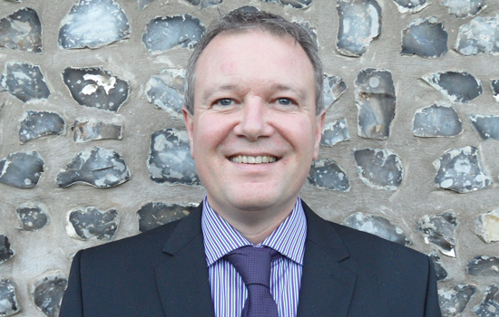
Rob takes responsibility for all projects undertaken by Archidata. He takes a pro-active approach to problem solving, ensuring surveys are carried out in a safe manner, to the highest level of quality and accuracy, within budget.
Archidata offers a service that covers the whole of the UK and Rob can often be found out in the field – sometimes as far north as Glasgow or across the channel in Amsterdam.
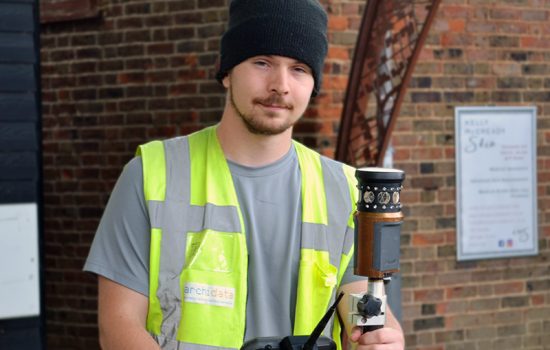
Connor joined us in April 2018 as a junior surveyor after working in the general building sector. He has since become our resident guru for 3D scanning and photogrammetry, and is a core member of our team.
Having previously studied topographical land surveying with The Survey School and UAV drone operation with Consortiq, Connor is currently studying engineering with the Open University as part of his continued professional development.
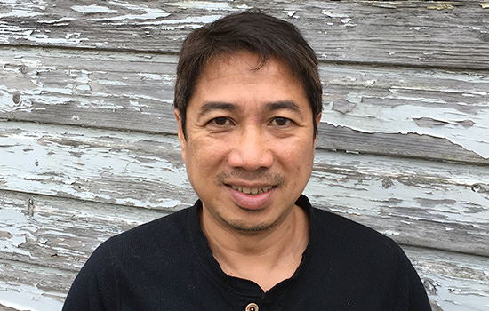
Darin has been a valued key member of our team since 2007. Originally from the Philippines, Darin has a BA in architecture and is also an experienced land and building surveyor. He is also an experienced architectural technician, proficient in AutoCAD and 3D modelling.
He specialises in using bespoke survey software and our state-of-the-art equipment such as 3D laser scanners to produce as-built surveys and measured building surveys. He also excels in producing topographical land surveys using our robotic total station theodolites and centimetre accurate GPS units.
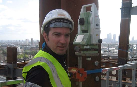
Shane is a Kiwi, but we don't hold that against him! He is a fantastic addition to our team here at Archidata; as well as being an efficient and accurate land surveyor he also specialises in setting out.
Shane lives in the Horley area giving us excellent coverage in London and South East of England.
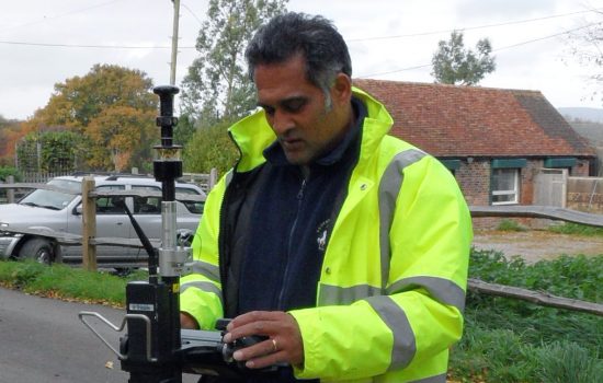
Peter lives in the Bexhill area of East Sussex near Haywards Heath. Specialising in topographical land surveys, he is a methodical experienced land surveyor, hardworking, conscientious and a patient member of our team.
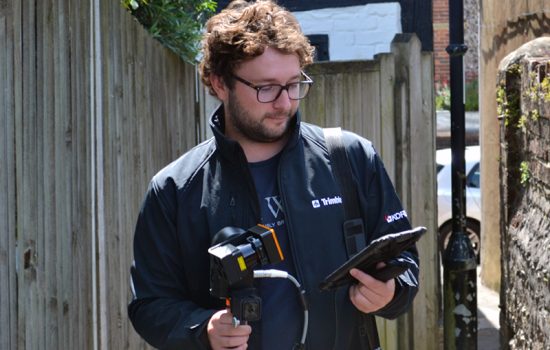
Lewis joined the team in September 2022, bringing several years of experience in 3D laser scanning and CAD. Based near Portsmouth, he has enhanced our ability to cover England's South Coast.
With a comprehensive knowledge of static and handheld laser scanners, as well as topographic surveying, Lewis has bolstered our capabilities as a team.
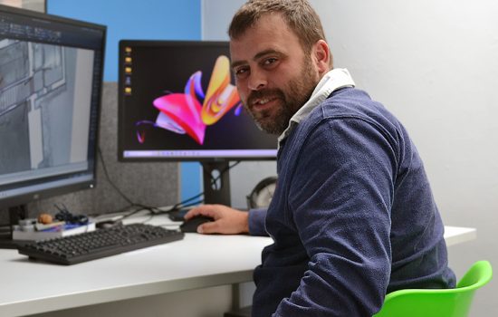
Having joined the team in August 2022, Luke has transitioned from the wider construction industry, bringing with him a wealth of practical knowledge and experience that is particularly useful in our condition/dilapidation survey work.
Luke has quickly proven to be an asset for our measured building surveys, and he continues to grow as an all-round land and building surveyor.
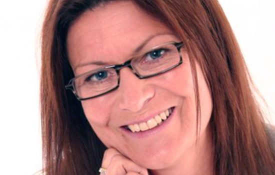
Fiona (or Fee as she likes to be known as) lives in Brighton, East Sussex, and her main duty is as our book keeper and payroll operator, however she has also helped to implement many changes to enable the business to expand at a steady and consistent rate. She also keeps everybody in line when it comes to shopping for new gadgets!
Fiona has successfully set Archidata up with an amazing new accountancy package called Xero that helps us quote and invoice very efficiently.
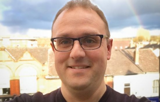
Steven has run his practice for the last 15 years, specialising in owner-managed businesses, with a sound background in all accounting and taxation matters for corporate and private clients.
Steven qualified as an Accounting Technician (FMAAT) in 1995, a Chartered Certified Accountant (FCCA) in 2003 and a Taxation Technician (ATT) in 2006.
Our Company Values
Stewardship
Nautidata takes ownership of every project from initial consultation through to final delivery. Our team works closely with clients, engineers, contractors and stakeholders to ensure every survey is planned, executed and delivered with precision. We believe clear communication, technical excellence and attention to detail are key to successful marine projects, helping to minimise delays, reduce risk and provide accurate, reliable data that clients can depend on from day one.
Professionalism & Integrity
Clarity, accuracy and trust are at the heart of every project we undertake. Nautidata provides transparent, well-structured quotations tailored to the specific requirements of each marine survey, ensuring clients receive exactly the level of service they need—nothing more, nothing less. With extensive experience in hydrographic surveying, geospatial data and marine mapping, we deliver dependable solutions that support informed decision-making. Challenges are approached proactively, with practical recommendations and accurate data that help projects progress safely, efficiently and with confidence.
Precision & Innovation
Nautidata delivers highly accurate marine data with real-world application. Using advanced hydrographic surveying technology, geospatial tools and specialist expertise, we transform complex marine datasets into clear, reliable outputs for engineers, consultants, contractors and asset owners. This level of precision helps reduce risk, supports informed decision-making and keeps marine and offshore projects progressing efficiently. Innovation is reflected not only in the technology we use, but in the way we capture, interpret and deliver data that adds genuine value to every project.
Want To Chat? Let’s Talk.
Whether you’re planning a new project or looking to improve what you already have, our team is here to help. Get in touch today and let’s explore the best way forward together.